When work gets stale, stepping away for a minute can reset your head. You don't need heavy software or GIS training to see what the world looks like right now.
Modern web graphics let you spin an online globe or drop into a random street view straight from your browser. We picked 10 interactive map websites that bring weather models, live radio signals, and landscape views to life.
The Best Interactive Map Websites for Wandering
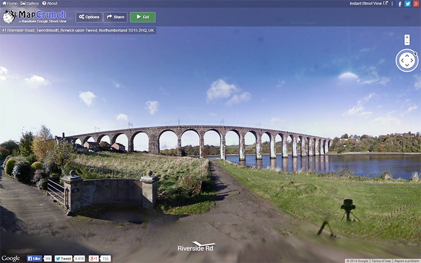
Great for armchair travelers and daydreamers. It drops you into a random street view somewhere on Earth—from a dusty backroad in Argentina to a side street in Tokyo. Walk around in full screen and get lost in the scenery.
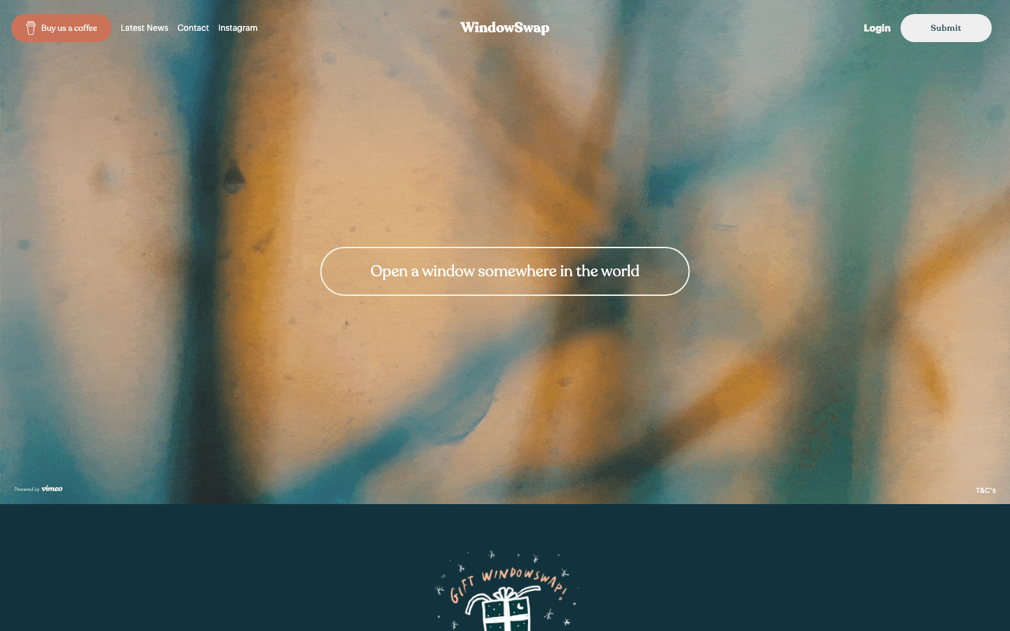
For anyone who needs ambient background scenery while working. People submit short video clips recorded from their actual windows. Check out WindowSwap to watch rain fall over a Scottish garden or catch a quiet Hawaiian sunset.

For geography fans and daily puzzle solvers. Every day gives you a silhouette of a country or territory. Guess the location on Worldle, and the game gives you distance and direction hints after each try.
Weather Models and Earth Systems
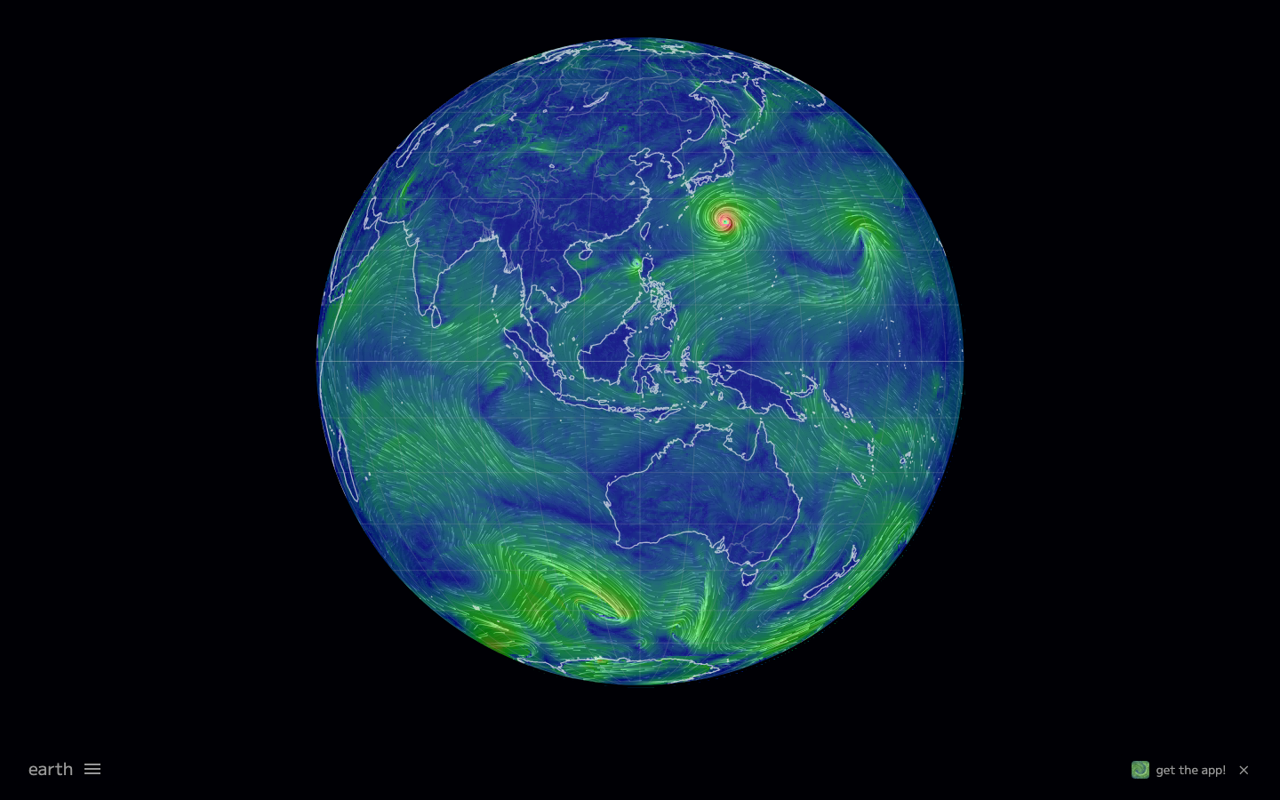
For weather nerds and visual lovers. Supercomputer forecasts turn into flowing 3D vector lines across a digital globe. Drag around earth.nullschool to watch live ocean currents, jet streams, and atmospheric dust swirl across the planet.
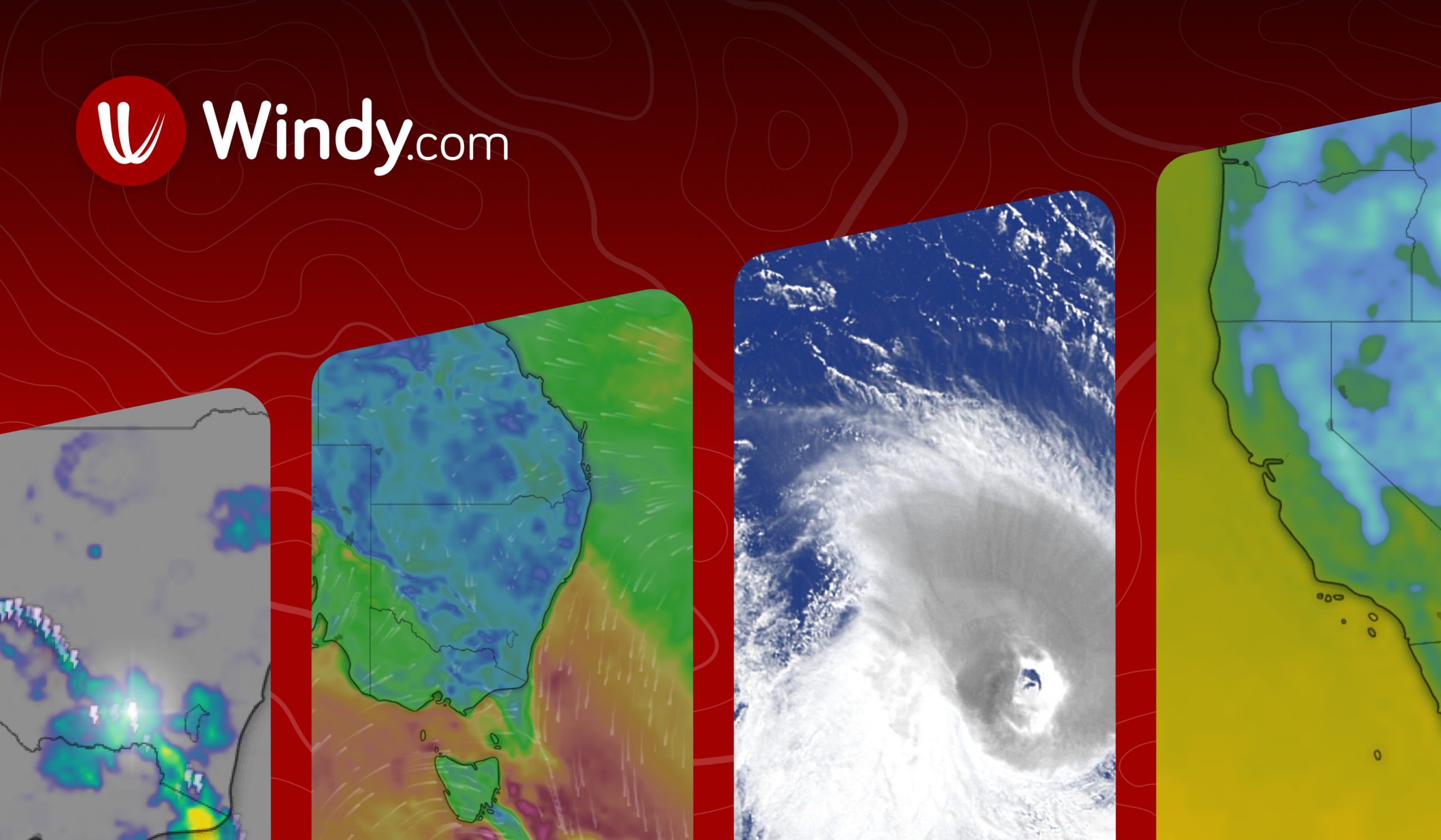
For hikers, sailors, and pilots who need precise weather layers. While other tools focus on abstract art, Windy pulls raw data from top forecasting models. Toggle wind gusts, wave swells, and snow depth in real time.

For students and curious minds looking to understand terrain. Instead of reading flat diagrams, Geography Lens builds 3D elevation models to show how rivers erode valleys and tectonic plates shape mountain ranges.
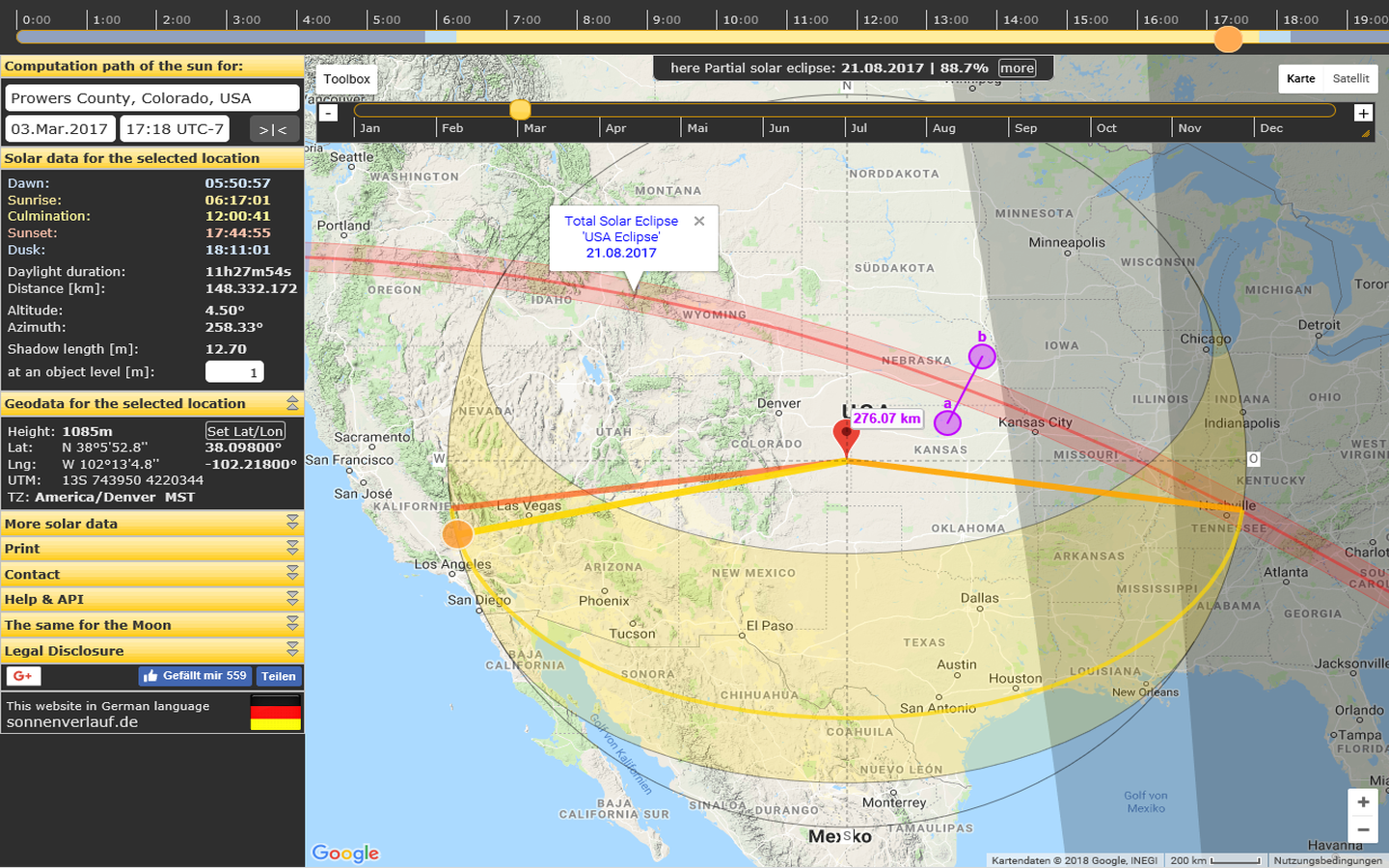
For photographers, architects, and house hunters checking natural light. Pick any spot on Earth, and SunCalc plots the sun’s path, golden hour angles, and actual shadow lengths throughout the day.
Audio Globes and Night Skies
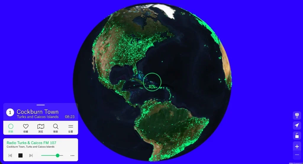
For music lovers and language learners. It turns a 3D Earth into a live radio tuner dotted with green seeds. Spin the globe on Radio Garden and tune into local broadcasts from small towns and big cities worldwide.
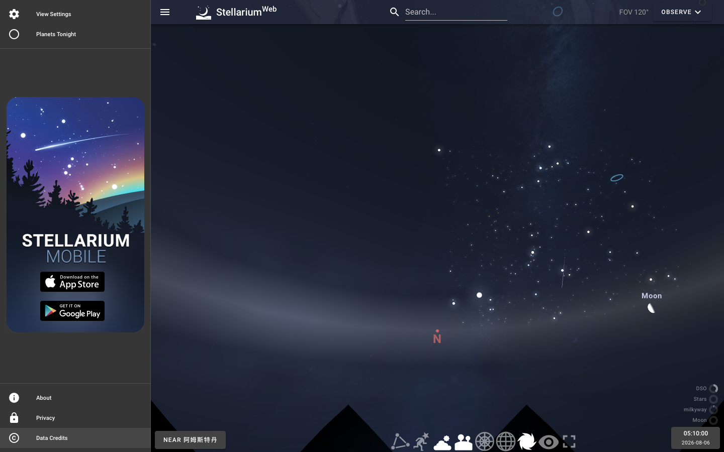
For stargazers and late-night dreamers. Point your browser up instead of down. Stellarium Web renders the night sky directly above your actual coordinates, showing real-time positions of stars, planets, and passing satellites.

For hikers and mountain photographers. Click any coordinate on the map, and PeakFinder generates a 360-degree digital skyline labeling every visible peak, along with its altitude and distance.
More Ways to Explore
Looking for more web tools? Check out our curated interactive map collection to find historical timelines, flight trackers, and space maps.
Frequently Asked Questions
Do I need to install software to use these map sites?
No. Every site listed runs natively in modern desktop and mobile browsers like Chrome, Safari, or Edge without plugins.
Do these interactive maps work well on mobile phones?
Most of them adapt smoothly to touchscreens for panning and zooming. However, heavy 3D visualizations like earth.nullschool run noticeably better on a desktop GPU.
Is the weather and atmospheric data updated in real time?
Yes. Tools like Windy and earth.nullschool pull data directly from major atmospheric models, refreshing their feeds every few hours depending on the source.
Exploring the world doesn't always require a plane ticket. At kokoseek (https://kokoseek.com), we highlight fascinating web apps so you can jump straight to the good stuff. Bookmark kokoseek to uncover more creative corners of the web.